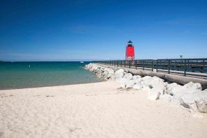
Charlevoix has beaches on Lake Michigan and also offers the warmer swimming waters of inland lake beaches on Lake Charlevoix.
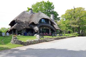
Northern Michigan builder Earl Young created the unusual mushroom houses in Charlevoix. Tours are available.
Beaver Island is located 32 miles offshore of Charlevoix, Michigan and is the largest island in Lake Michigan.
The Charlevoix Circle of Arts is a vibrant, cultural center in downtown Charlevoix that presents six major visual exhibits annually.
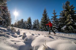
With woods, dunes, and frozen lakes, the trails near Charlevoix and Boyne City are the places to cross country ski from December-March.
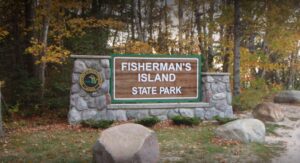
Fisherman’s Island State Park has more than 2,600 acres and miles of gorgeous Lake Michigan beach and is located just south of Charlevoix.